Back in November, Justin and I had the chance to spend an extra long weekend doing some exploring in the beautiful Pacific Northwest with our friends Iwona and Craig. Specifically, we spent time down in Washington in Leavenworth and Wenatchee.
The drive from the Canadian border to the Wenatchee/Leavenworth area is around 4-hours, but we managed to stretch this into a 7-hour drive by making several stops for lunch and coffee, and at Trader Joe’s.
One thing I have never mentioned in any of my previous blog posts is that when we are travelling in the US, we try to book accommodation with a kitchen (or at least a decent sized fridge) as our very first stop in every new city is Trader Joe’s. We always stock-up on the premade salads, wraps and snacks as this helps to keep the food portion of our trip cost effective, and it helps us eat healthier. Well, our trip down to Washington was no different ツ!
We ultimately had two full days in Wenatchee and Leavenworth, and during this time, we were able to fit in two hikes, as well as some time to explore the nearby towns and shops. Our first hike was a trail surrounding Clara Lake and Marion Lake in the Okanogan-Wenatchee National Forest, which was around 30-minutes from our accommodation in East Wenatchee. The reason we picked this hike is because some reviews we read suggested we might still be able to see larches in the area, even though it was already mid-November.
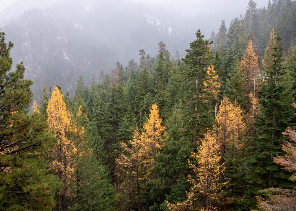
Well, to our surprise, we did find larches on our drive to the start of the trailhead, but there were definitely no larches on the trail, itself, as it was covered in snow! Fortunately, we showed up prepared with crampons and ice cleats to help us enjoy our hike through the winter wonderland.
The larches we saw when driving to the Clara and Marion Lakes trailhead
As we were hiking along the trail, we remained hopeful that there might be more larches at the end of the hike. We decided to ask the first person we encountered whether there were larches by the lakes, and he laughed and said “sure.” He either did not know what larches were, or we missed the sarcasm in his response – he definitely got our hopes up! Either way, we will have to go back to this trail one day, hopefully a bit earlier in the year to see the larches and to see Clara and Marion Lakes without all the snow.
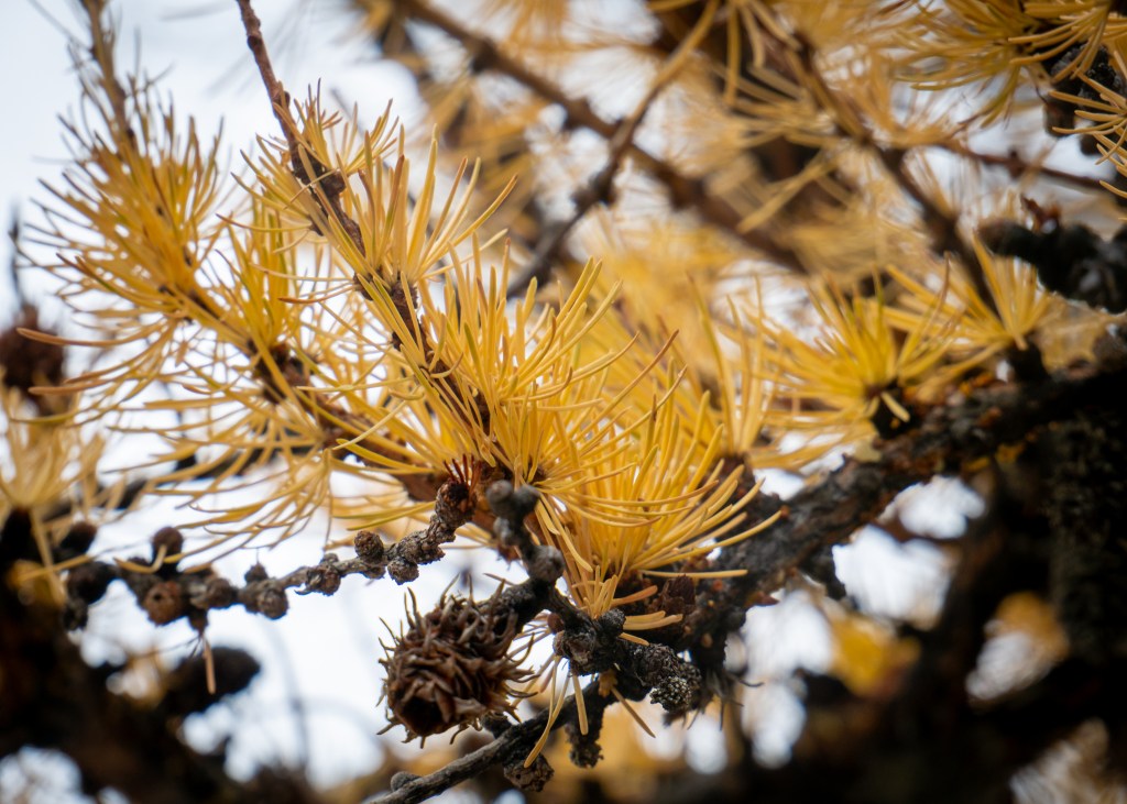
Up close and personal with the larches!
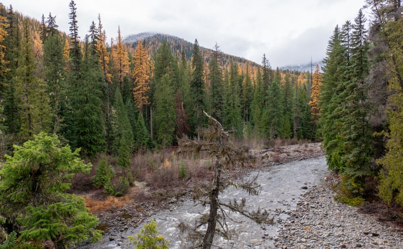
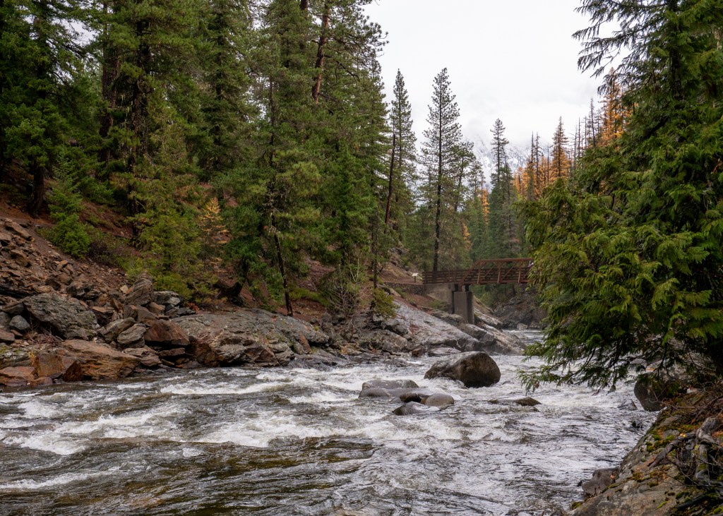
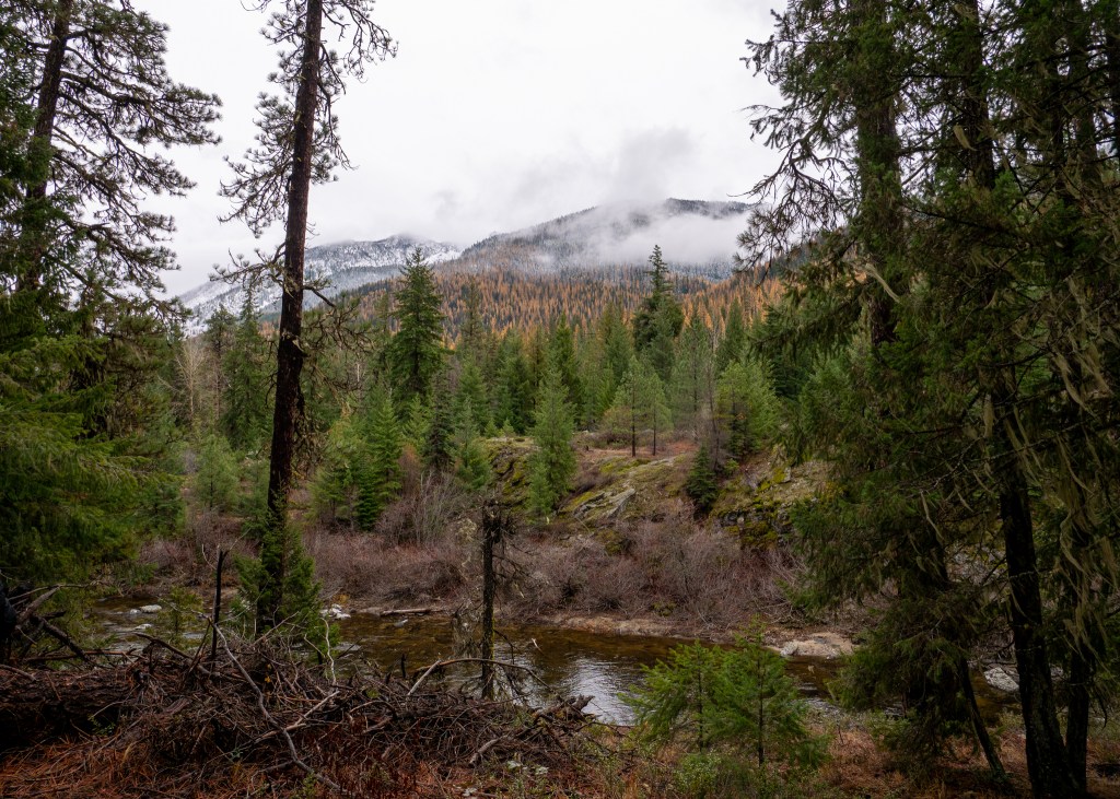
The other trail we did was the Icicle Gorge Trail, which is also part of theOkanogan-Wenatchee National Forest. This trail was actually closer to Leavenworth, and was around an hour away from our accommodation. To our surprise, the entire area surrounding the trail was surrounded by larches! I later learned that there are actually multiple types of larches, and I believe the ones we saw were western larches, which can be found in lower elevation areas (compared to alpine larches, which grow at high elevations).
While I would definitely consider the Icicle Gorge Trail to be an easy nature walk, it was a stunning walk along the river – I would highly recommend putting this on your must see list when visiting Leavenworth.
Icicle River along the Icicle Gorge TrailLarches surrounding the Icicle Gorge Trail
Other than our time outdoors, we also made a point of checking out the local restaurants in the area. While we were in Wenatchee, we went to Wenatchee Valley Brewing to enjoy a local beer and some snacks, and also checked out Tap and Putt, which offers games and indoor mini-golf in addition to food and drinks. We ended up playing shuffleboard, and also three rounds of Monopoly Deal (which I brought from home), and we could not believe that Craig won every single game. It would not be incorrect to say I get a little bit competitive when playing Monopoly Deal.
In terms of eating establishments in Leavenworth, we enjoyed a Mexican lunch at South Leavenworth, dinner and live music at Yodelin (I definitely regret not trying one of their soups) and played a couple more rounds of Monopoly Deal over a drink at the Icicle Brewing Company. While I was not able to completely redeem myself over Monopoly Deal this time, thankfully I won one game ツ.
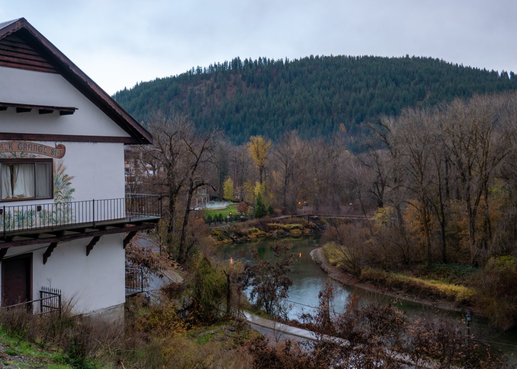
Views from the town of Leavenworth – on the left is one of the Bavarian-style buildings
I should note that our trip to Leavenworth was during the shoulder season and I would love to visit again one day in the winter. In case you did not know, Leavenworth goes “all out” for Christmas – thousands of decorative lights, live music, carolers and, of course, a special appearance from Santa, himself.
I know this was one of my shorter blog posts, but hopefully it gives you some ideas on what to do if you are ever visiting Wenatchee or Leavenworth!
If you have been reading my other blog posts, you will know that we have previously spent time in both Palm Springs and Scottsdale, hence why I am titling this blog post “More Time in the Desert” ツ. We have recently been on two separate trips to Indio, California – the first visit was in October 2023, and we just got back from our second visit earlier this week!
October 2023
I will start by saying that our first trip to Indio was a hot one – even in October, the weather was over 35°C every day! When it is this hot out, your only opportunities to spend time outside are early in the morning and later in the evening. But, we did not let this stop us from exploring outdoors!
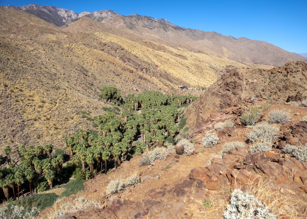
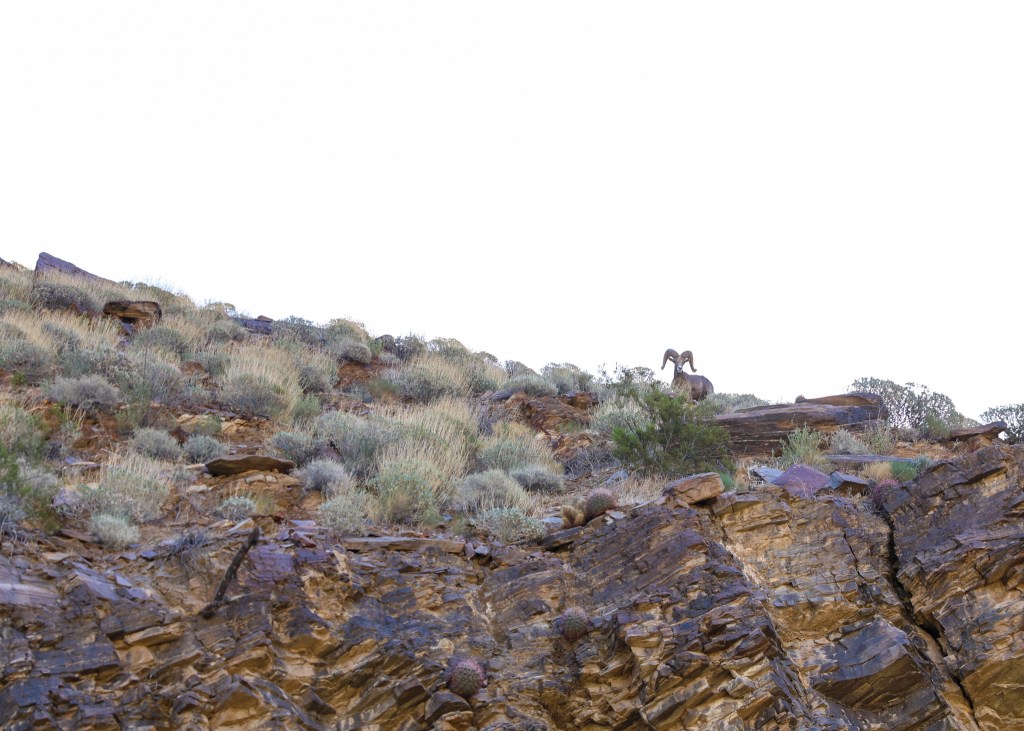
For our first full day, we drove out to Palm Springs (which is around 30-minutes from Indio) to check out the Indian Canyons. The Indian Canyons are actually made up of multiple canyons – Palm Canyon, Andreas Canyon and Murray Canyon. Because it was already quite warm out, we opted to start in the Palm Canyon and complete a shorter (fairly easy) hike called Victor Loop, which provided some shade as the start of the trail is almost entirely covered by palm trees. However, the second half of the trail was completely open – the true definition of a desert landscape! This short hike provided fantastic views of Palm Springs and its iconic turbines, and we even saw some desert bighorn sheep.
Views of the palm trees from the top of the Victor LoopOne of the desert bighorn sheep we saw along the Victor Loop
Apparently the rule for hiking in the desert is: once you have finished half your water, turn around and go back! Makes sense to me!
After we finished the Victor Loop, we drove to Andreas Canyon to do the Andreas Canyon Trail. Fortunately, this trail is only 1.5km long, and similar to Victor Loop, it is surrounded by palm trees. The short distance and shade made this walk tolerable in the heat; however, it is important to be prepared – sunscreen, hats and water are critical!
The other hiking we did during this trip was in Mount San Jacinto State Park. In order to access these trails, we took the Palm Springs Aerial Tramway. The Tramway is located about 40-minutes from Indio, and it is similar to a gondola but it spins as it goes up, providing you with 360° views of Palm Springs. Once we reached “Mountain Station” and stepped into Mount San Jacinto State Park, it was clear we had left the desert – the temperatures were about 10°C lower than what we were experiencing in the valley, and the Park had a luscious green landscape.
We started by hiking the Round Valley Trail. Because this hike is slightly longer (4km), you are required to stop by the Ranger Station to grab a permit to complete this hike. The Ranger assesses your ability to hike the Round Valley Trail, primarily by checking if you have enough water to drink (remember the rule I mentioned above?).
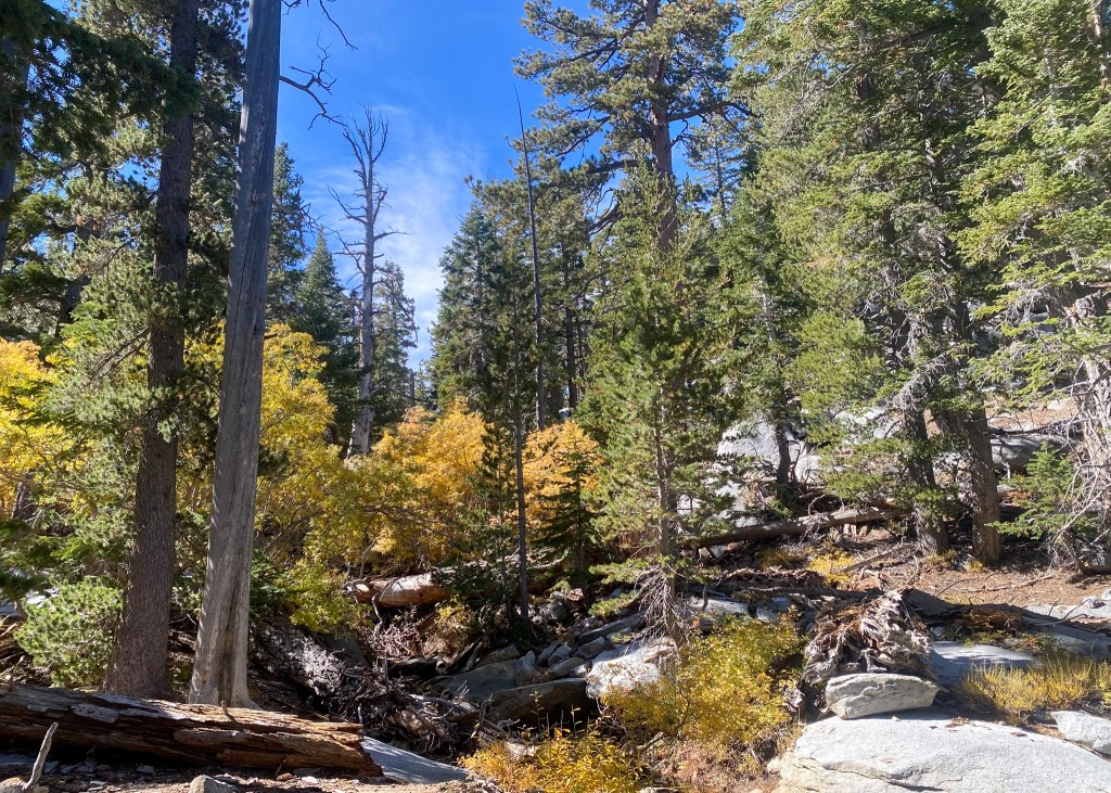
While there were not that many view points along the Round Valley Trail, it was a very peaceful walk through the wilderness, with beautiful fall colours!
Fall colours along the Round Valley Trail
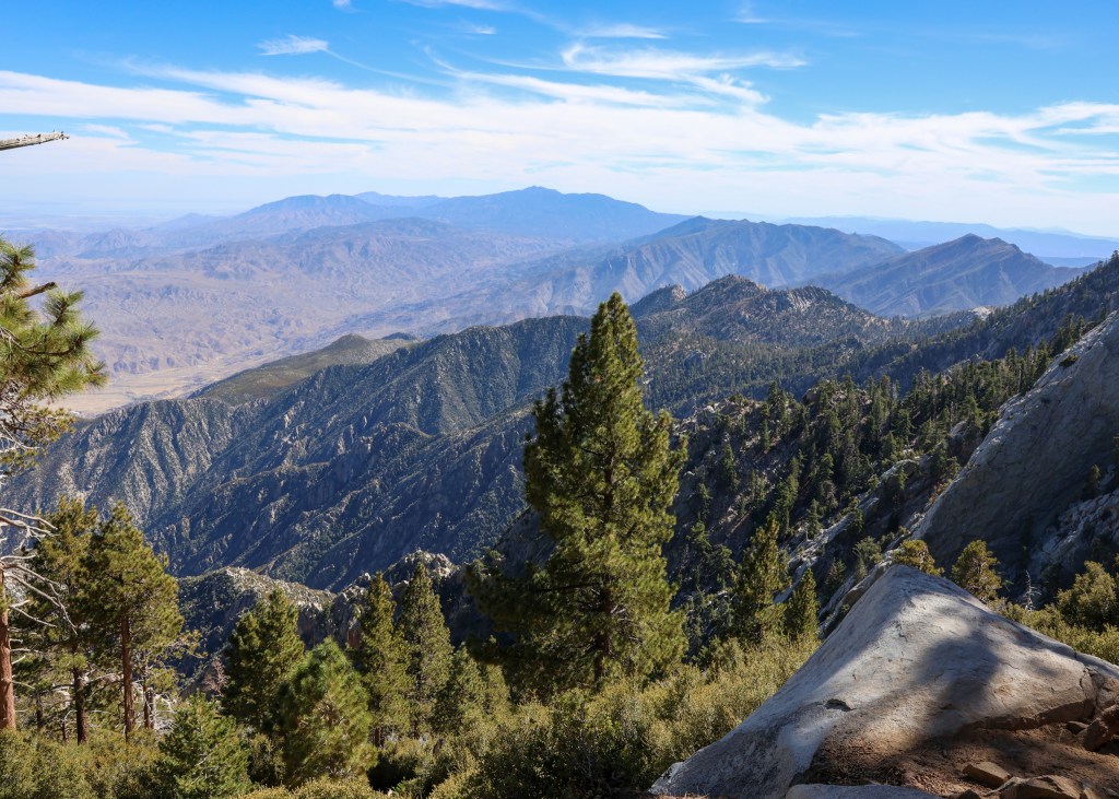
The second trail we did was the Desert Valley Trail. While only 2km in length, this trail provided stunning views of the surrounding mountains and valley below. The Desert Valley Trail was definitely more scenic than the Round Valley Trail, but overall, we very much enjoyed our time in Mount San Jacinto State Park! As a side note – a big shout out to the tramway operator we had on our way down – he told jokes and had everyone singing along to Sweet Caroline.
Views from the Desert Valley Trail
In addition to the little bit of hiking we did in October, we also went back to Joshua Tree National Park. Our first visit to Joshua Tree National Park was in December 2022, which I wrote about in my Palm Springs & Joshua Tree National Park (Southern California – Part 1 of 3) post! But this time, we went to the Park at night for stargazing.
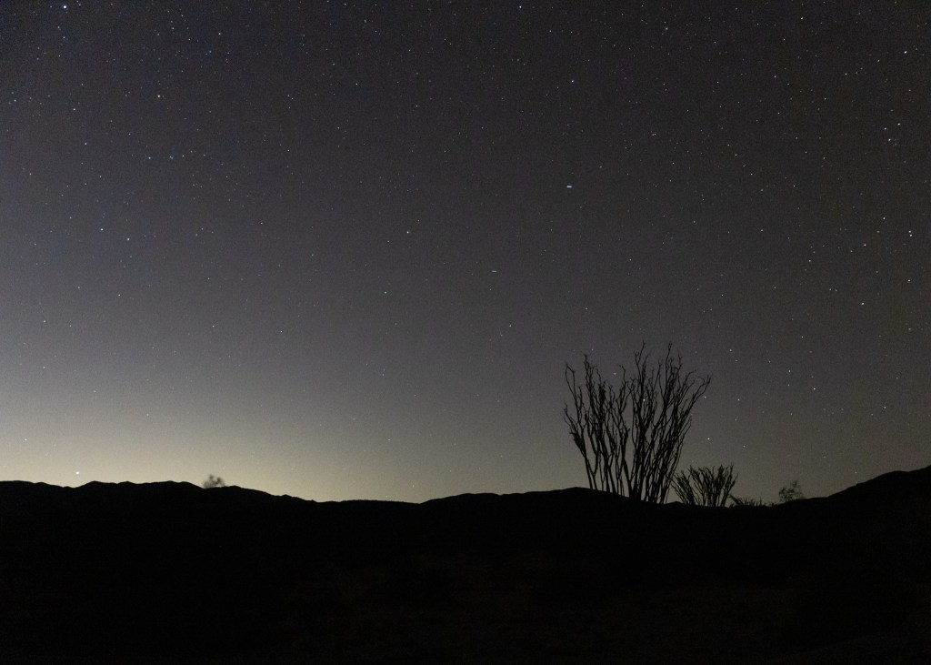
Joshua Tree National Park is considered an International Dark Sky Park, and let me tell you, it is very dark at night. It took us about an hour to drive from Indio to the spot where we intended to stargaze – the Ocotillo Patch within the Park. I will admit that we know very little about stargazing and were very unprepared. When we arrived at the Ocotillo Patch, there were other stargazers already there with their folding chairs, blankets and red lights – we did not have any of these supplies! We read that it takes about 30-minute for your eyes to adjust from bright lights, whereas red light does not impact your night vision in the same way. Either way, we were amazed with how many stars were in the sky, and we were even able to see the Milky Way. I am excited to try stargazing again in the future, but this time, with all the proper equipment!
The night sky in Joshua Tree National Park – this photo does not do the sky justice!
The final activity we were able to fit in during our visit in October was the Palm Springs Windmill Tour, which allows you to get up-close and personal with the wind turbines. We opted to do the self-driving tour option, where you drive through the different exhibits while listening to an audio track (through a phone app). There are 10 exhibits that discuss the history of the turbines, the different sizes, and you also drive past a solar farm. My favourite fact I learned is that there are various reasons why a turbine might not be spinning in the wind – a couple more obvious reasons like the turbine is down for maintenance or there is not enough wind, but apparently too much wind can also be a bad thing!
Palm Springs turbines
Other than that, the rest of our time in Indio was spent relaxing by the pool and hot tub. We were also sure to visit a couple of food spots in Palm Springs that we enjoyed during our last visit – Sammy G’s, for pizza and pasta, and Nature’s Health Cafe, for delicious smoothies!
January 2024
Earlier this week we got back from another trip to Indio. While not as warm as our October trip, the temperatures were between 15-20°C, which was the perfect temperature for hiking and hanging out in the hot tub. I appreciate the temperatures even more now given that it is -13°C (feels like -23°C) in Vancouver as I am writing this blog post!
Our friends, Jeanette and Mike, actually joined us for this trip, and Jeanette is quite familiar with Indio and the surrounding area. She scouted out a lot of our activities for this trip, starting with the East Indio Hills Badlands hike.
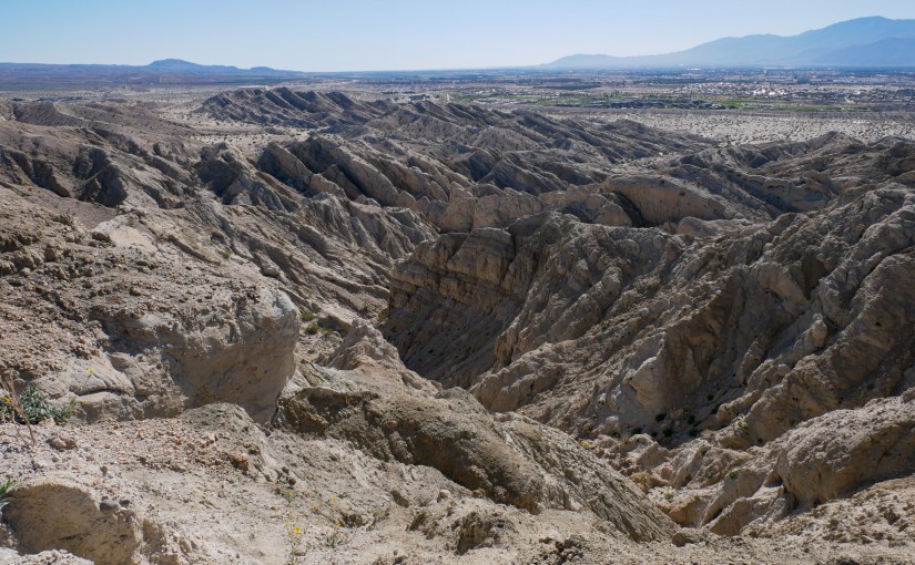
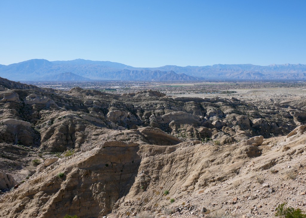
This was a very cool trail – it was around 9km in length and took us 2-hours to complete. This hike is the epitome of hiking through the desert with various rock landscapes and we even walked through multiple slot canyons. The highest point on the trail also provided beautiful views of Indio. While I would throughly recommend this hike, make sure to bring enough water and to consider doing it earlier in the day, as there is almost no shade on this trail (with the exception of the slot canyons)!
Views from the east Indio Badlands trail
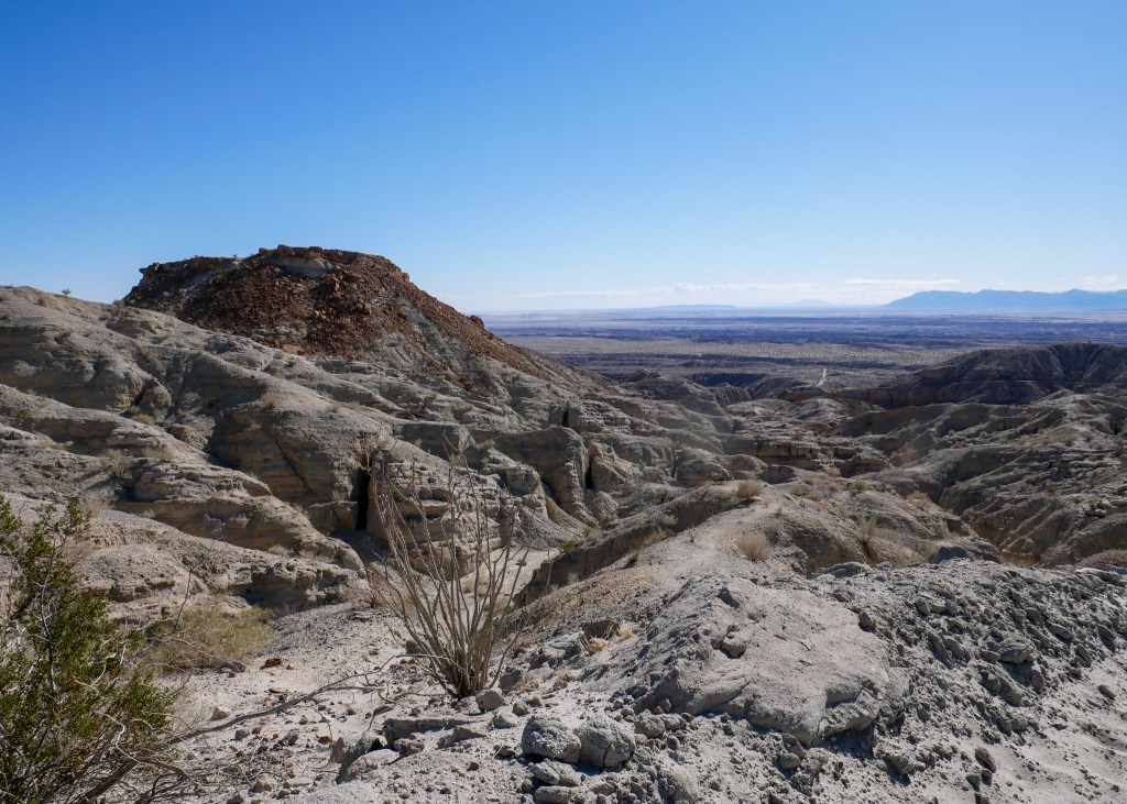
The second hike we managed to fit in during our trip was actually about 1-hour south of Indio in Anza-Borrego Desert State Park. The trail is called Calcite Mine Trail, and as the name suggests, the Trail is littered with calcite minerals. Jeanette and Mike both collect rocks, making for an exciting rock-hunting adventure ツ. Even Justin and I myself managed to find a couple cool pieces of calcite to bring home!
Calcite Mine
We also managed to find a slot canyon on this trail – this was the highlight for me, personally!
Slot Canyon along the Calcite Mine Trail
I should note that the Calcite Mine Trail is actually fully accessible for a 4×4 vehicle, but unfortunately for us, we had to walk the trail since our vehicle did not have enough clearance. Similar to the East Indio Hills Badlands, it is best to do this hike in the morning, as shade is minimal, and to bring plenty of water.
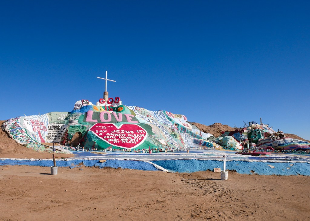
Following the Calcite Mine Trail, we decided to drive for 1-hour to Slab City to see Salvation Mountain, as we had read several good reviews online about this attraction. However, other than reading a few reviews, we definitely did not know where we were going, and it turns out that Slab City is actually, to quote from Wikipedia, an “off-the-grid alternative lifestyle community.” In other words, this area is very rundown, and populated by homelessness and drug addicts. Slab City actually used to be a training camp for the military, and people have now built their homes on the “slabs” that remain from the military buildings. We got out of our vehicle to observe the Salvation Mountain artwork (which is a giant Christian mural made from bricks, tires and windows) and painted vehicles in the area, but we got startled by a person sitting in one of the vehicles – safe to say, we did not spend too much time in Slab City.
Salvation Mountain
We decided to head back to Indio but wanted to make a stop at the Bombay Beach Ruins – another attraction on Google with great reviews. Little did we know, the community of Bombay Beach is actually considered a “living ghost town.” In order to get to the beach ruins, we had to drive by the community, which is made up of several streets of mobile homes, many of which have been clearly abandoned.
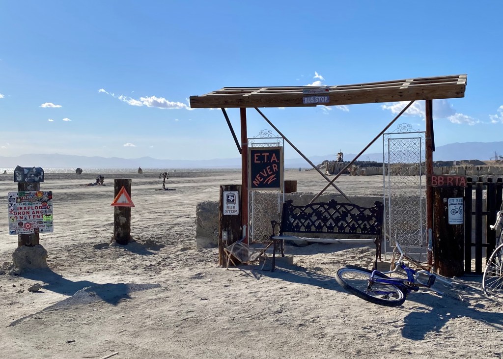
When we reached the beach, we noticed only one other vehicle, as well as a sign that said something along the lines of “The last vehicle to enter did not leave.” Needless to say, we were a bit spooked and decided to observe the ruins from our vehicle without getting out! Amongst the ruins was a lemonade stand, a giant fish, a decapitated person and a bus stop that read “ETA NEVER.” We decided this was another place we did not want to hang around at for too long ツ.
The bus stop at the Bombay Beach Ruins
After leaving the beach, we drove through the community to observe the homes. We later learned that there is a small population that continues to live in Bombay Beach, but as noted above, most of the homes are unoccupied. One of the homes even had a swing set with skeletons on it!
We definitely spent some time reading up about Bombay Beach after leaving, and apparently it used to be the “hip and happening place” in the 1950s. However, the Community is situated right next to the Salton Sea, which is becoming increasingly toxic, and ultimately resulted in many residents leaving the area. If you have some free time, I would definitely recommend reading up on both Slab City and Bombay Beach, California – it is all very interesting! But, I am not sure if I would recommend going for a visit ツ.
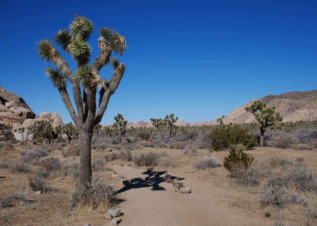
Lastly, because this was Mike’s first time in California, we took him on a tour through Joshua Tree National Park. Unfortunately, it was quite cold (6°C) when we went, and to make things worse, incredibly windy. It was so windy that Jeanette and I both ended up with wind burn on our faces! Either way, we made the most of our time there by doing a quick hike to the Arch and Heart rocks, pit-stopped for a quick visit to Skull Rock, and also stopped at the Hall of Horrors exhibit to see the Joshua Trees up close!
Arch Rock in Joshua Tree National ParkJust a couple of Joshua Trees ツ
I think that is it! Hopefully if you are planning a trip to Palm Springs in the future, this post (along with my other post) will give you some ideas on activities to check out in the surrounding area!